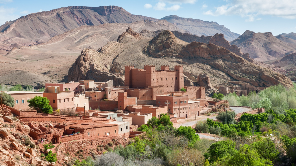
At the gateway to the desert and at the foot of the foothills of the High Atlas mountains, Ksar Ighnda, your hotel near Ouarzazate, stands in the heart of a Berber village on the route once taken by caravans from Timbuktu. It's not clear whether this is a luxury hotel or a village, certainly a bit of both, as this Riad is so much a part of the village and involved in its daily life. Ksar, "fortified village" in Berber, Ighnda, which means "he slept here", is the promise of magical memories with the mountain as the horizon by way of awakening. It is caressed by the first glimmers of sunlight, revealing the beauty of the valley and its palm grove in the early hours of the morning. Ksar Ighnda is a hotel in Ouarzazate, but it's also a team of people, attentive to the smallest detail and thoughtful, working to ensure the well-being of every visitor as if they were a friend passing through. Simplicity and accessibility are the watchwords for our teams.
Entrance to the mosque
Ksar facade
A
hISTOrY
out of the ordinary
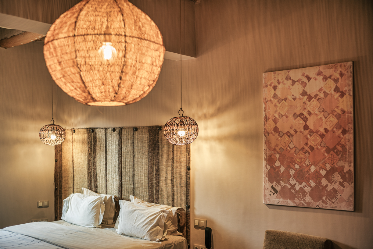
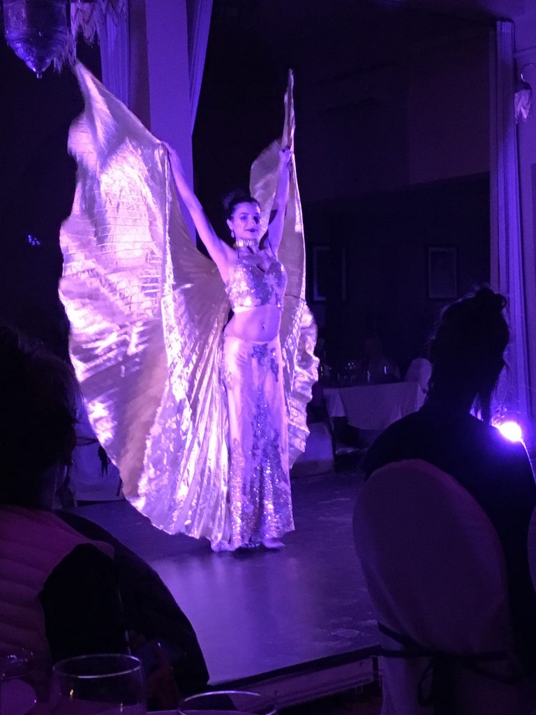
An ancient kasbah restored in the purest tradition to become a magnificent 80-room Riad, immersing guests in a feeling that is both intimate and exclusive. Unheard-of refinement that plunges its privileged guests into another dimension. A feeling of escape, the impression of getting lost among the many staircases, the many terraces, all the spaces of the Riad are deliberately singular in order to create cocoons that everyone can make their own. Ksar Ighnda, as we know it today, took Pascal Petrone, the owner who fell in love with the village and is now firmly rooted in Asfalou, twenty years to build.